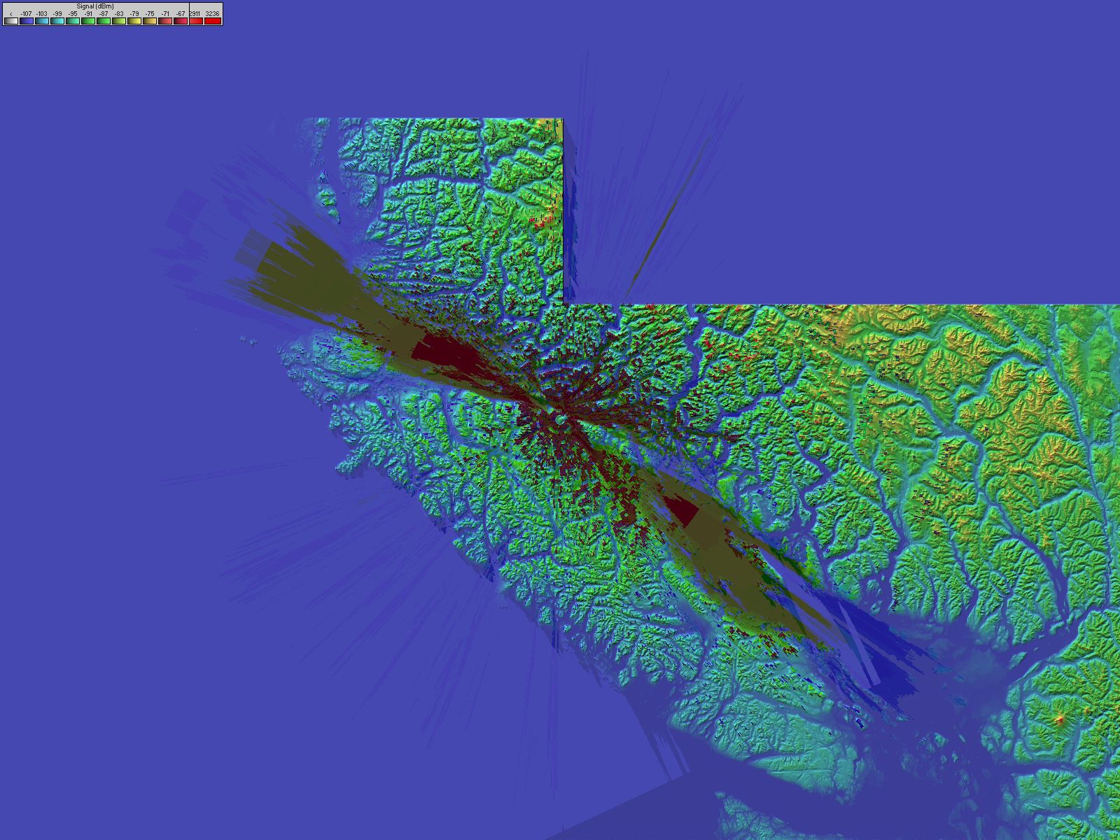
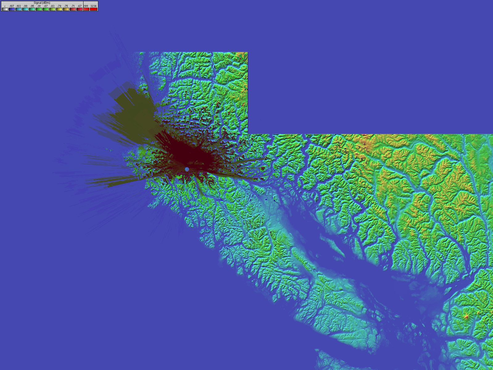
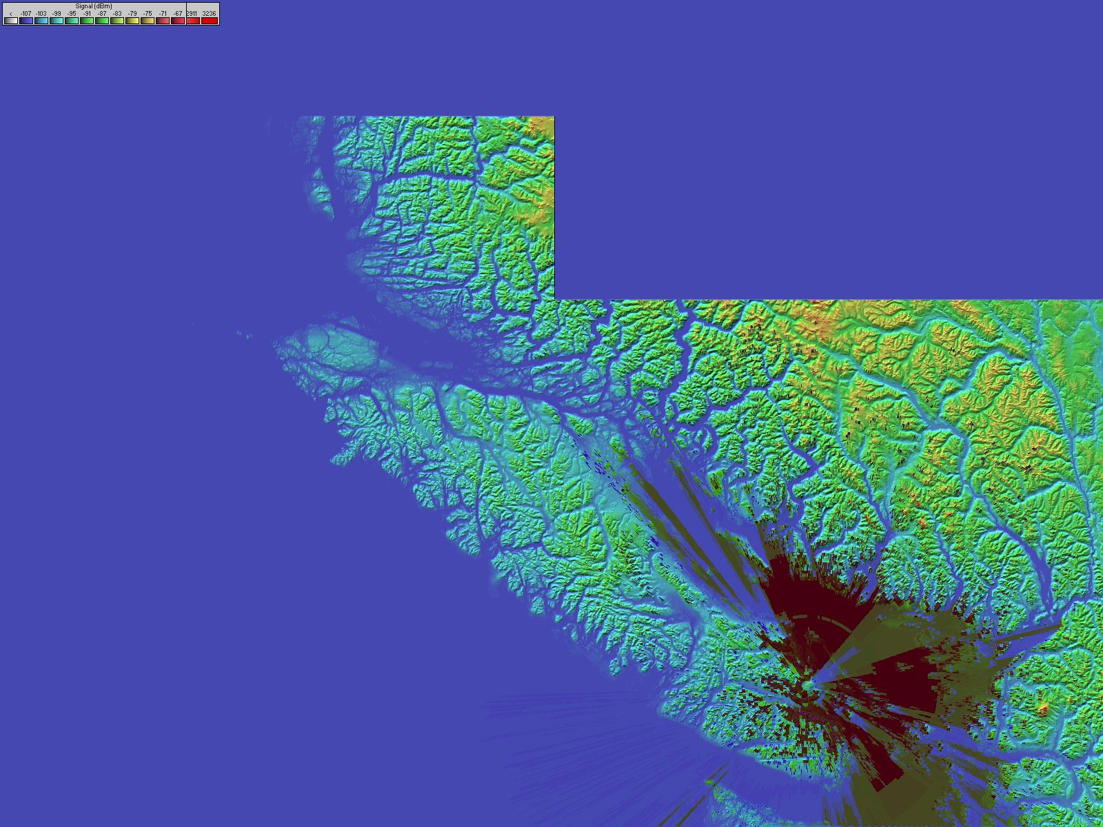
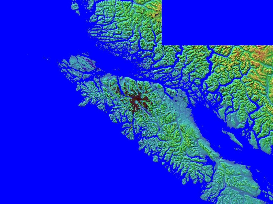
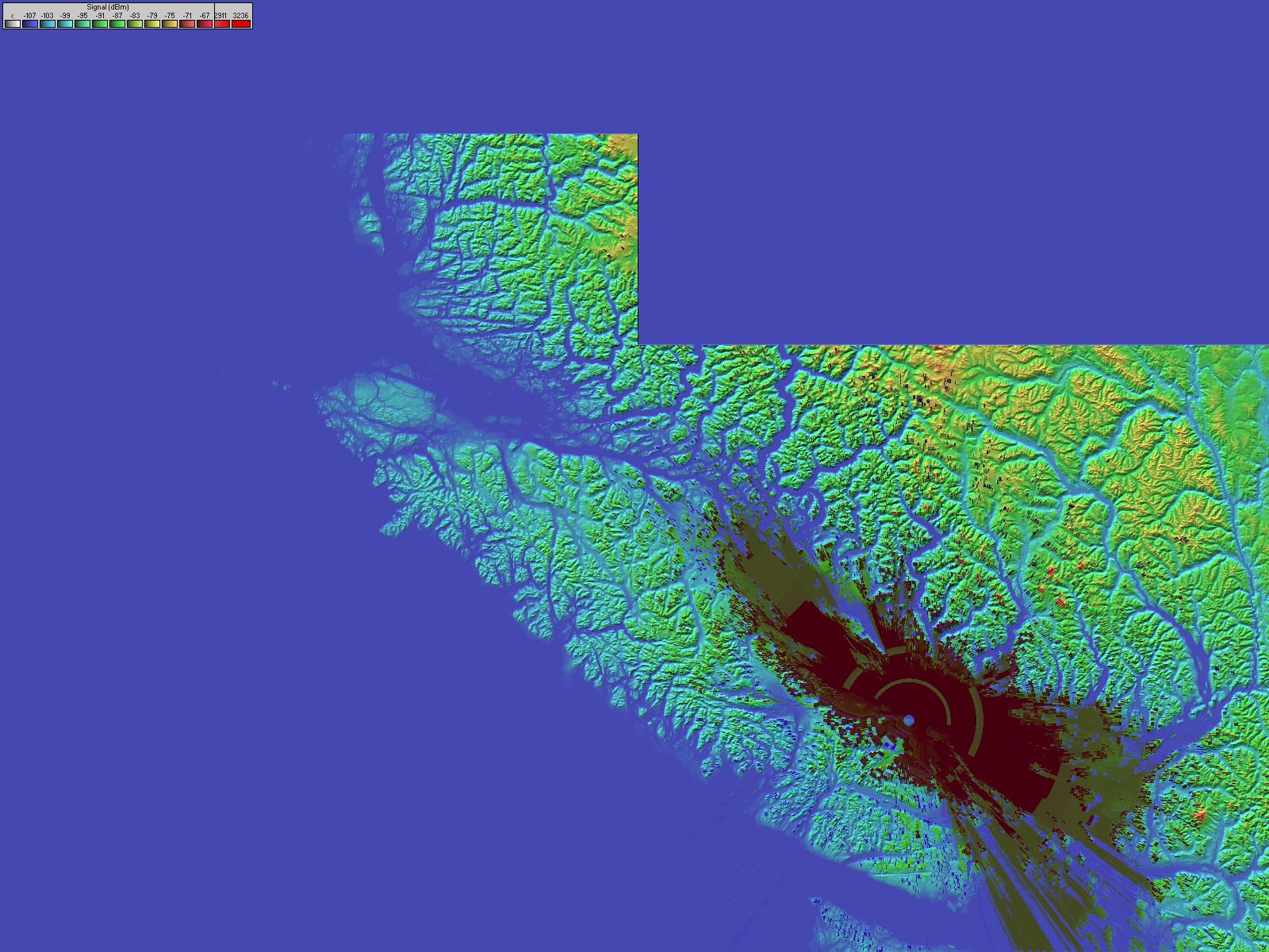
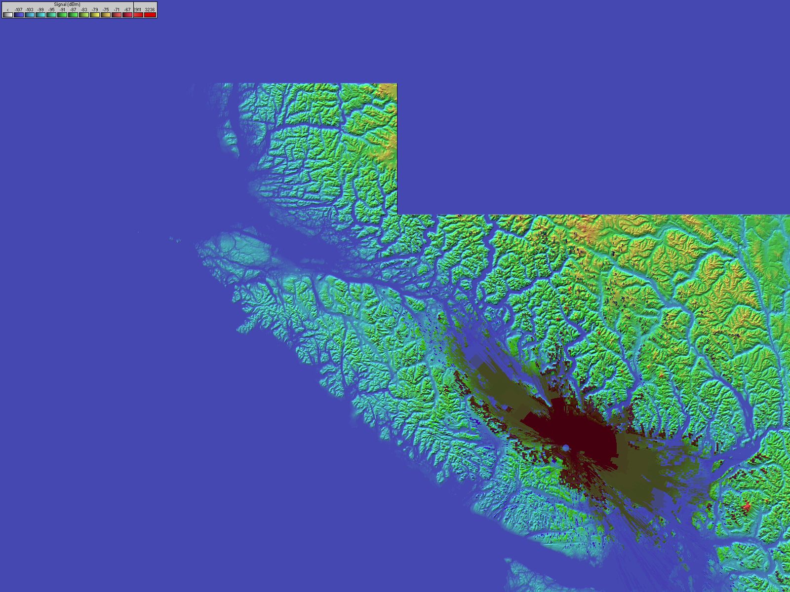
Coverage plots of all individual repeaters will be added soon.
| Attachment | Size |
|---|---|
| ITS VHF Network System Coverage Overlay for Google Earth (ZIP – unzip, then open the .kmz in Google Earth) | 140.5 KB |
| 146.700.jpg | 313.01 KB |
| 146.940.jpg | 300.4 KB |
| 146.680.jpg | 311.13 KB |
| 146.88 Woss Lake.jpg | 260.11 KB |
| 444.725 Nanaimo.jpg | 312.54 KB |
| 145.430 Nanaimo.jpg | 304.2 KB |